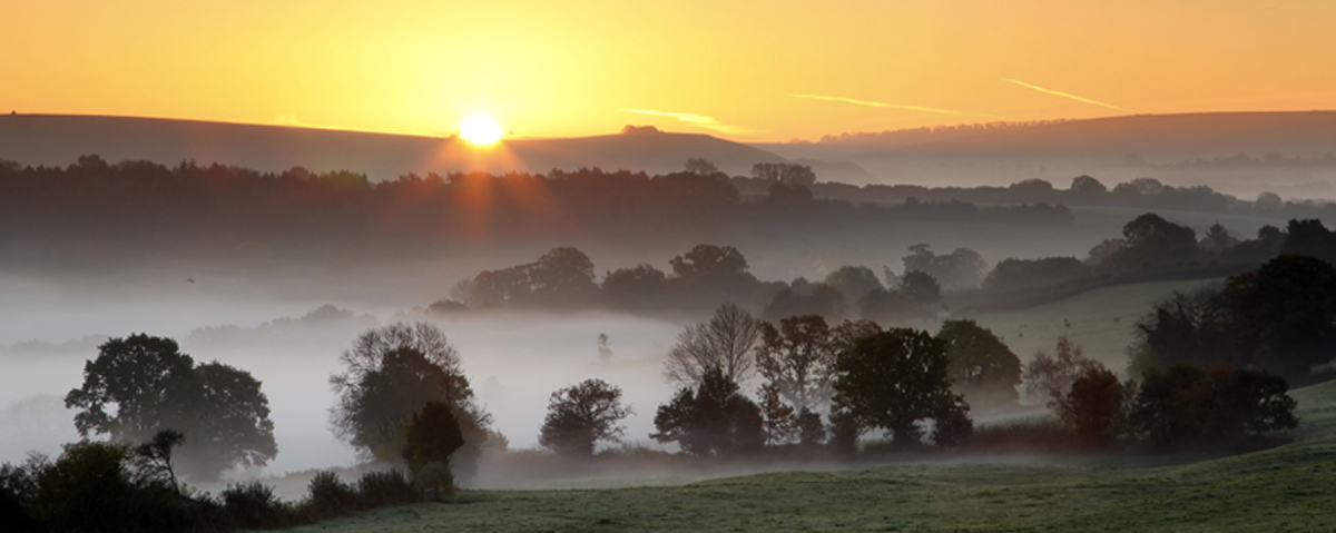
Location. Donhead St Mary is the third largest parish in England, with an area of 2115 hectares, but with a scattered population of about 1200 it is almost entirely rural. Situated in the extreme south west of Wiltshire. Its west and south west boundaries form a county boundary with Dorset. It is a typical English landscape with rolling hills and hidden valleys.
The parish includes the villages and hamlets of Wincombe, part of Gutch Common, Donhead St Mary, part of Brook Waters, Birdbush, Ludwell, Charlton, Lower, Middle and Higher Coombe and extends south to one mile from Ashmore and Tollard Royal.
Rock types and relief. In the south, the north facing chalke escarpment rises to 277m at Win Green, Travelling northwards the greens and slopes are cut into by the headwaters of the river Nadder exposing the gault clay. The Nadder rises in the west and south west of the perishing, flowing first east and then north east. It leaves the parish at a height of 110m and eventually merges with the Avon near Salisbury. The highest point of the greensand is about 155m and the mainly C12th parish church of St Mary the Virgin occupies a commanding position on the greensand bluff.
Ancient and medieval times. From earliest times the drier slopes, which were not thickly wooded, afforded cultivatable land and easy route ways. There is evidence of Bronze and Iron Age settlements in burial grounds. A Roman road coming from the south coast crossed the chalke escarpment and can be traced along Dennis Lane and through Lower Berrycourt Farm. It then crossed the river and travelled north along the slopes below the church, leaving the river to the east and exiting the parish through the saddle between Donhead Cliffe and Barker’s Hill.
Land ownership. Shaftesbury Abbey owned much of the parish from the 10th to 16th centuries, and at its dissolution its land was given to Lord Arundell whose heirs and successors still own land around Wardour Castle. In C19th and C20th they sold much of the land for farming and housing development. There were also other large land owners who rented land to small farmers.
Until the early 1950’s the parish was more or less self sufficient in food. Some market gardeners sold vegetables as far away as Salisbury. Small shops catered for everyday needs – there was a tailor, garage, shops and pubs scattered over the parish. These have gradually disappeared – the last shop near St Mary’s church closed in 1983 – and nearly all shops are now found along the A30.
Farming today. The predominantly pastoral nature of the land strikes the eye immediately. Although some fields have been joined together and those south of the A30 are large, most of the fields remain comparatively small and are bounded by hedges. Some eight farms still remain active although the names of many houses retain the word ‘Farm’. The area farmed by each farmer has increased as much land is owned by landowners who rent it out to these existing farmers for pasture, silage and hay. Increased use of machinery has meant that most farmers employ few of no extra workers, relying on contractors to do so much of the work. Dairy farming has declined since the 1990’s and the land is used for hay or silage, cereals, beef cattle, horses and sometimes sheep.
Population and settlement. The population was initially concentrated into small hamlets of 6 – 8 houses, usually at a road junction e.g. Lillies green. Small ‘one up, one down’ cottages built of local greenstone were interspersed with larger farmhouses. Most were thatched but many were eventually title. There is no ‘stately home’ in the parish but several larger houses, such as Donhead Hall, Wincombe House and Charlton House were built by local gentry.